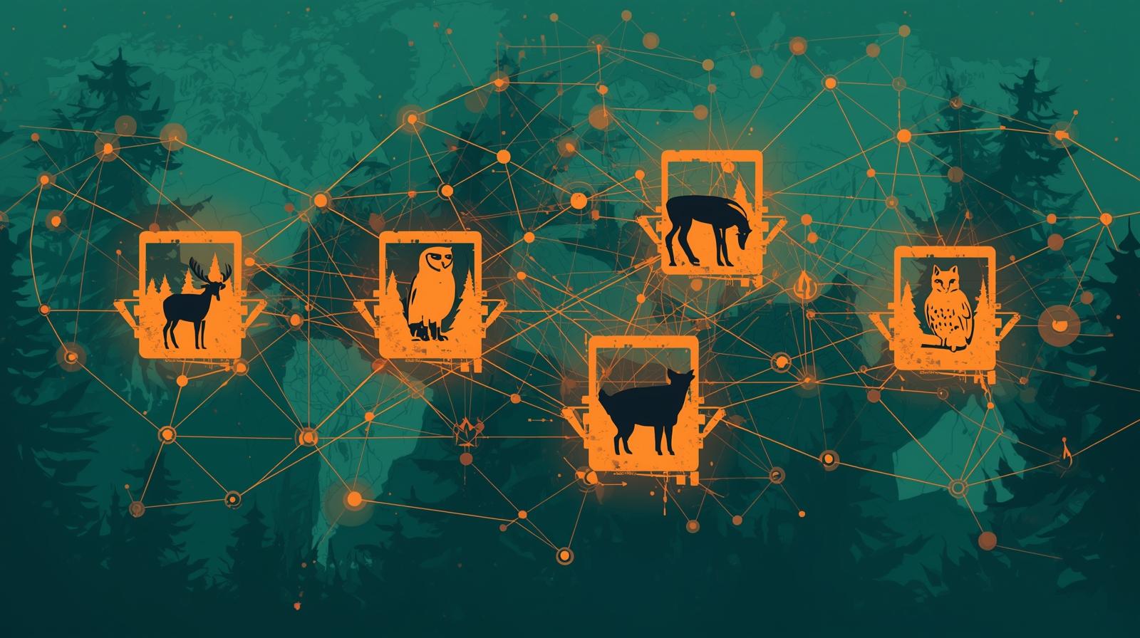
SpeciesNet and Wildlife AI: Open-Source Tools for Conservation Organizations
Google's open-source SpeciesNet model identifies over 2,000 animal species in camera trap images with high accuracy. Here is what conservation nonprofits need to know about this tool and the broader ecosystem of wildlife AI platforms available today.
A wildlife biologist reviewing camera trap footage from a single monitoring station can expect to sort through thousands of images per month, most of them empty frames triggered by wind, falling leaves, or changes in light. Identifying the species in the images that do contain animals, confirming the identification, recording the sighting, and updating biodiversity databases is painstaking work that consumes a significant fraction of field staff time. For conservation nonprofits with limited resources and monitoring sites spread across large territories, this bottleneck has historically constrained the scale and frequency of wildlife surveys.
That constraint is changing. In March 2025, Google released SpeciesNet as an open-source model under an Apache 2.0 license, making a powerful wildlife identification AI freely available to any organization in the world. Trained on over 65 million camera trap images contributed by the World Wildlife Fund, the Smithsonian Conservation Biology Institute, the Wildlife Conservation Society, and other major conservation organizations, SpeciesNet can detect animals in 99.4% of images containing wildlife and correctly identify species with 94.5% accuracy when it makes a species-level prediction. It can classify organisms across more than 2,000 categories.
For conservation nonprofits, this represents a significant practical opportunity. Organizations that previously spent weeks processing camera trap footage can now do the same work in hours, freeing scientific staff to focus on analysis, conservation planning, and the community engagement work that machines cannot perform. And because SpeciesNet is open source, the financial barrier that would normally limit adoption by smaller organizations is absent.
This article explains how SpeciesNet works, how conservation nonprofits can access and use it, what other open-source wildlife AI tools are available, and how organizations at different scales of technical capacity can incorporate these tools into their monitoring programs. It also examines the broader context of AI in conservation work and how organizations can position themselves to benefit from continued advances in this area.
What Is SpeciesNet and How Does It Work
SpeciesNet is a computer vision model, meaning it uses deep learning to analyze the visual content of images and identify what is in them. It was developed by Google in collaboration with conservation organizations over several years as part of the Wildlife Insights project, a cloud-based platform for biodiversity monitoring that has been available to conservation researchers since 2019. When Google released SpeciesNet as standalone open-source software in 2025, it made the same AI model that powers Wildlife Insights available for anyone to run independently.
The model operates in two stages. First, it performs a detection step that determines whether a given image contains an animal at all, effectively filtering out the large proportion of empty frames that camera traps capture. This detection stage achieves 99.4% recall, meaning it correctly flags images with animals in almost all cases. Second, for images that contain animals, the model performs a classification step that attempts to identify the species. The model outputs both a species prediction and a confidence score, allowing researchers to set a threshold above which they trust the automated identification and below which they flag images for human review.
The 94.5% species-level accuracy figure applies to predictions made with high confidence. Many wildlife AI tools achieve high accuracy only on common, easily distinguished species, but SpeciesNet's training on a globally diverse dataset of 65 million images means it performs reasonably well across a wide range of species from different regions. The model is particularly strong on the species well-represented in its training data, which reflect the monitoring priorities of the major conservation organizations that contributed images.
The Apache 2.0 license under which SpeciesNet is released is broadly permissive. Organizations can use it for any purpose, including commercial applications, modify the code, and distribute their own versions, all without licensing fees. This openness has already enabled conservation technology developers and biodiversity-focused startups to build new tools and applications on top of the model.
99.4%
Animal detection rate across images containing wildlife
SpeciesNet correctly identifies the presence of animals in nearly all camera trap images that contain them, dramatically reducing empty frame review.
94.5%
Species-level prediction accuracy on high-confidence classifications
When the model makes a confident species identification, it is correct nearly 19 out of 20 times, a performance level comparable to expert human reviewers.
2,000+
Animal categories the model can classify across global taxa
From individual species to broader taxonomic groups, SpeciesNet covers a comprehensive range of wildlife including mammals, birds, and reptiles.
How Conservation Nonprofits Can Access and Use SpeciesNet
Conservation organizations can access SpeciesNet through several pathways depending on their technical capacity and operational context. The right approach varies significantly depending on whether your organization has in-house technical staff, works with external technology partners, or needs a fully hosted solution that requires no internal technical expertise.
Wildlife Insights: The No-Code Cloud Option
Best for organizations without technical development capacity
Wildlife Insights is Google's cloud-based platform that provides access to SpeciesNet through a user-friendly web interface. Organizations upload camera trap images, the platform runs them through SpeciesNet automatically, and staff can review predictions, confirm or correct identifications, and export the resulting species records. No technical expertise is required to use the platform, and it includes tools for organizing camera deployments, managing data from multiple sites, and generating biodiversity reports.
Wildlife Insights also serves as a global data repository. Organizations that choose to share their data contribute to a growing public database of wildlife occurrence records that researchers and conservation planners worldwide can access. For organizations conducting monitoring as part of research projects or wanting to contribute to global biodiversity knowledge, this collaborative dimension is valuable.
- No technical setup required, entirely browser-based
- Automatic species predictions with confidence scores
- Built-in data management, reporting, and export tools
- Optional contribution to global biodiversity data repository
AddaxAI: Desktop Software for Field Teams
Best for organizations processing images locally without reliable internet access
AddaxAI, formerly known as EcoAssist, is a free, open-source desktop application that allows ecologists to run AI-powered species identification directly on their computers without an internet connection. The software incorporates MegaDetector, a widely-used model for detecting animals in camera trap images, along with various species classification models that can be run through the same interface.
For conservation organizations working in areas with limited internet connectivity, or those with data sovereignty concerns about uploading images to cloud platforms, AddaxAI provides a local alternative that keeps all image processing on the organization's own hardware. The project is maintained by volunteers and is free to use, though the developers accept donations to support ongoing development.
- Runs entirely offline, no internet connection required
- Incorporates MegaDetector and multiple classification models
- All images remain on local hardware, no cloud upload required
- Free and open source, suitable for resource-limited organizations
Direct SpeciesNet Integration via GitHub
Best for organizations with technical development capacity or technology partners
Organizations with software development capacity, or those working with technology partners, can access SpeciesNet directly from Google's GitHub repository and integrate it into custom workflows, existing data management systems, or purpose-built tools. The Apache 2.0 license allows unrestricted use, including building proprietary applications on top of the model.
This approach enables the most flexibility. Organizations can incorporate SpeciesNet into their existing camera trap management workflows, customize how predictions are handled, integrate with species occurrence databases, or build automated pipelines that process images from multiple monitoring stations without manual intervention. For larger conservation organizations with complex data infrastructure, direct integration often produces the most seamless operational workflow.
- Maximum flexibility for custom workflow integration
- Can be embedded into existing data management systems
- Supports custom species models trained on local wildlife
- Requires technical development capacity or external partners
How AI Is Changing Wildlife Monitoring and Conservation Practice
The impact of tools like SpeciesNet extends well beyond efficiency gains in image review. When the barrier to processing large volumes of camera trap data drops significantly, conservation organizations can afford to deploy more cameras, run monitoring programs more frequently, cover larger geographic areas, and generate the long-term datasets that rigorous population assessments require. This changes what is scientifically feasible for organizations without large research budgets.
Traditional wildlife monitoring programs often face a trade-off between coverage and depth. More monitoring stations mean more images to review, which eventually overwhelms the capacity of field staff. AI-assisted image processing breaks this constraint. An organization that previously could support 20 camera stations given its image review capacity might find that with AI assistance, it can comfortably manage 80 or more, dramatically expanding the geographic scope of monitoring without proportionally increasing staff time.
Population trend monitoring illustrates another benefit. Understanding whether wildlife populations are stable, growing, or declining requires consistent data collection over multiple years. For conservation organizations advocating for habitat protection or demonstrating the effectiveness of their conservation programs, this longitudinal data is foundational. AI tools that reduce the cost and effort of generating that data make rigorous, defensible impact measurement more accessible to smaller organizations that previously could not sustain the required monitoring intensity.
There are also benefits for grant reporting and funder communication. Conservation funders increasingly expect quantitative evidence of program impact. AI-assisted monitoring enables conservation nonprofits to generate more precise species occurrence records, population estimates, and habitat use data than was previously feasible. This not only strengthens grant applications but also supports the broader accountability frameworks that mission-focused organizations should embrace. For nonprofits working on AI-powered impact measurement, wildlife monitoring represents a domain where AI can generate genuinely objective evidence.
Monitoring Scale Benefits
- Deploy more camera stations without proportional staff increase
- Run continuous monitoring programs rather than periodic surveys
- Cover larger geographic territories with consistent methodology
- Generate long-term datasets for population trend analysis
Scientific and Advocacy Benefits
- More precise species occurrence data for biodiversity assessments
- Quantitative population trend evidence for conservation advocacy
- Stronger grant reporting with objective, data-backed outcomes
- Contribution to global biodiversity databases and scientific literature
Limitations and Practical Considerations
SpeciesNet's capabilities are impressive, but conservation nonprofits evaluating the tool should understand its limitations clearly. The model's performance varies depending on the species being identified, the quality of the images, and how well represented those species are in the training data.
Geographic coverage matters considerably. SpeciesNet's training data skews toward species and regions where camera trap monitoring has been most active, which includes much of sub-Saharan Africa, parts of Asia, and North America. Organizations working in regions with unique or poorly documented wildlife communities, particularly some areas of tropical biodiversity hotspots, may find that the model's accuracy on their target species is lower than the headline figures suggest. For these organizations, it may be worth testing the model on a sample of locally reviewed images before deploying it at scale, and considering whether contributing new annotated images to expand the training dataset would benefit the broader conservation community.
Image quality also affects performance significantly. Camera traps that produce low-resolution images, have significant motion blur, use challenging infrared night modes, or are placed in ways that only capture partial animal images will produce lower-quality inputs for the model. Investing in higher-quality camera equipment and thoughtful placement protocols can substantially improve AI-assisted identification results.
The appropriate role of human review also deserves attention. The model's confidence scores provide valuable guidance: high-confidence predictions from SpeciesNet are reliable enough to accept with minimal review for many applications, while lower-confidence predictions should be treated as suggestions that require expert confirmation. For research applications where species identification accuracy is critical, establishing a systematic review protocol for predictions below certain confidence thresholds is important. For monitoring programs focused primarily on detecting presence or absence of target species rather than precise taxonomic identification, the model may be sufficient with lighter review.
Questions to Answer Before Deployment
Address these practical considerations when planning SpeciesNet integration
- Target species coverage: Are the species you monitor well-represented in SpeciesNet's training data? Test performance on a sample of locally reviewed images from your monitoring area.
- Image quality standards: Do your current cameras and placement protocols produce images suitable for AI identification? Consider whether equipment or protocol upgrades are warranted.
- Review workflow design: What confidence threshold will trigger human expert review? Who will conduct that review and how will it be integrated into existing workflows?
- Data sovereignty preferences: Is cloud processing through Wildlife Insights acceptable, or do data sensitivity concerns require local processing through AddaxAI or direct SpeciesNet integration?
- Technical capacity match: Which access pathway (Wildlife Insights, AddaxAI, or direct GitHub integration) matches your organization's technical skills and infrastructure?
The Broader AI Landscape for Environmental and Conservation Nonprofits
SpeciesNet is one component of a rapidly expanding set of AI tools available to conservation organizations. Understanding the broader landscape helps conservation nonprofits think strategically about where AI can add the most value across their operations, not just in the specific domain of camera trap analysis.
Acoustic monitoring is another domain where AI is advancing rapidly. Tools that analyze audio recordings to identify bird species, amphibians, and marine mammals by their calls are becoming increasingly capable and accessible. Organizations conducting monitoring programs that include acoustic data can apply AI-assisted identification to that data with similar efficiency gains to what SpeciesNet offers for camera trap images.
Satellite and aerial imagery analysis represents a third domain where AI is changing what conservation organizations can do. Tools that automatically detect forest cover changes, map vegetation types, identify illegal encroachments, or track wildlife habitat conditions from remotely sensed imagery are now available through platforms accessible to smaller organizations. For organizations doing landscape-scale conservation work or monitoring habitat conditions across large territories, these capabilities can substantially augment field-based monitoring programs.
Google's AI for Nature Accelerator program, which this publication has previously covered in detail, provides conservation and environmental organizations with direct access to Google's AI technical expertise and cloud resources through structured accelerator programs. Organizations working on biodiversity monitoring, species identification, habitat analysis, or climate adaptation challenges may find these programs provide access to more advanced AI capabilities than are currently available as standalone open-source tools. The program also offers funding through Google.org for promising conservation AI applications.
For conservation nonprofits thinking about getting started with AI more broadly, wildlife monitoring tools like SpeciesNet are appealing entry points because they solve a clearly defined problem, have measurable outcomes, and keep the AI in a supporting role that augments rather than replaces expert human judgment. The skills and governance practices developed through careful adoption of wildlife AI tools translate directly to other AI applications in fundraising, grant writing, communications, and organizational management.
Camera Trap AI
SpeciesNet, Wildlife Insights, and AddaxAI automate species identification from camera trap images, the most mature category of wildlife AI tools.
Acoustic Monitoring AI
Audio analysis models identify species by their calls and songs, enabling passive monitoring of birds, amphibians, bats, and marine mammals at scale.
Remote Sensing AI
Satellite and aerial imagery analysis tools automatically detect forest loss, map habitat conditions, and identify illegal land use changes across large territories.
Getting Started: A Practical Path for Conservation Organizations
For conservation nonprofits ready to explore wildlife AI tools, a staged approach helps build confidence and institutional knowledge before committing to larger-scale deployment. The following pathway works for organizations at different levels of technical capacity.
A Four-Stage Adoption Pathway
Moving from initial exploration to full operational integration
Pilot with Wildlife Insights (Weeks 1-4)
Create a Wildlife Insights account and upload a representative sample of camera trap images from one or two monitoring stations. Compare the AI predictions against your team's expert identifications to evaluate accuracy on your specific target species and geographic context. This costs nothing and requires no technical setup.
Establish Review Protocols (Weeks 4-8)
Based on the pilot results, define the confidence threshold above which your team will accept AI predictions without detailed review, and below which expert confirmation is required. Document who performs verification review and how corrections are recorded. This governance step is essential before deploying at larger scale.
Scale to Full Monitoring Program (Months 3-6)
With protocols established and team confidence built, integrate AI-assisted identification into your standard camera trap review workflow across all monitoring stations. Track time savings, identify any accuracy issues that require workflow adjustment, and document the operational impact for reporting to funders and leadership.
Explore Advanced Integration (Month 6+)
If time savings from AI-assisted review are realized, consider how to reinvest freed staff capacity: expanding monitoring coverage, accelerating research projects, deepening community engagement, or exploring additional AI tools for acoustic monitoring or habitat analysis.
Conclusion
SpeciesNet represents a meaningful and accessible opportunity for conservation nonprofits. A tool that achieves 99.4% detection accuracy and 94.5% species-level classification accuracy, trained on 65 million images from leading conservation organizations, and available for free under a permissive open-source license, would have been remarkable just a few years ago. Today it is available to any conservation organization willing to invest the modest time required to evaluate and integrate it.
The efficiency gains from AI-assisted wildlife monitoring are substantial, but the more significant opportunity may be the strategic flexibility it creates. When the labor-intensive bottleneck of image review is substantially reduced, conservation organizations can reconsider their monitoring strategy and ask what they would do with their monitoring programs if staff time were less constrained. The answer to that question, pursued over time, is where the real transformative impact lies.
For environmental and conservation nonprofits thinking about AI more broadly, SpeciesNet also serves as a useful model for what AI adoption done well can look like. The tool was developed collaboratively with the conservation community, trained on data contributed by practitioners, and released in a way that maximizes access rather than monetizing an advantage. The result is a technology that serves the mission of conservation rather than simply the commercial interests of its developers. As the AI landscape continues to evolve, conservation organizations would do well to maintain this mission-aligned orientation in how they evaluate and adopt new tools.
Ready to Expand Your Conservation AI Capabilities?
Our team helps environmental and conservation nonprofits identify, implement, and govern AI tools that advance their missions. Whether you are starting with wildlife monitoring or building a broader AI strategy, we can help you move forward thoughtfully.